Tag: france
-
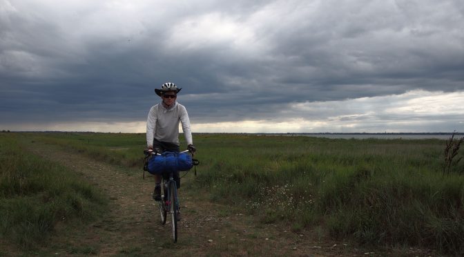
Forest, Beach, and River: A Solo Bike Tour of Normandy
[Note: this is a long (but entertaining) story. If you’re just here for the pictures, here’s the gallery , or scroll to the bottom] Preface: April 2017. This trip happened in July and August of 2017, but its story began in April. My wife and I had a one-year old, and had recently decided to have…
-
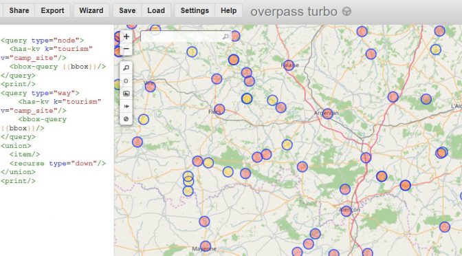
Finding campsites using OpenStreetMap and Overpass Turbo
Update May 2018: The OSMAnd application accomplishes this task better than Overpass Turbo; see this post for more info. ******* Campgrounds make for a quick cheap place for a bicycle tourist (or other tourist) to stop for the night, pitch a tent, and get a warm shower. Sometimes, though, it can be hard to tell…